1990s wood house in Hiroshima (67)
1990s wood house in Hiroshima
Mihara, Hiroshima
Saved homes live in this browser. View your saved homes
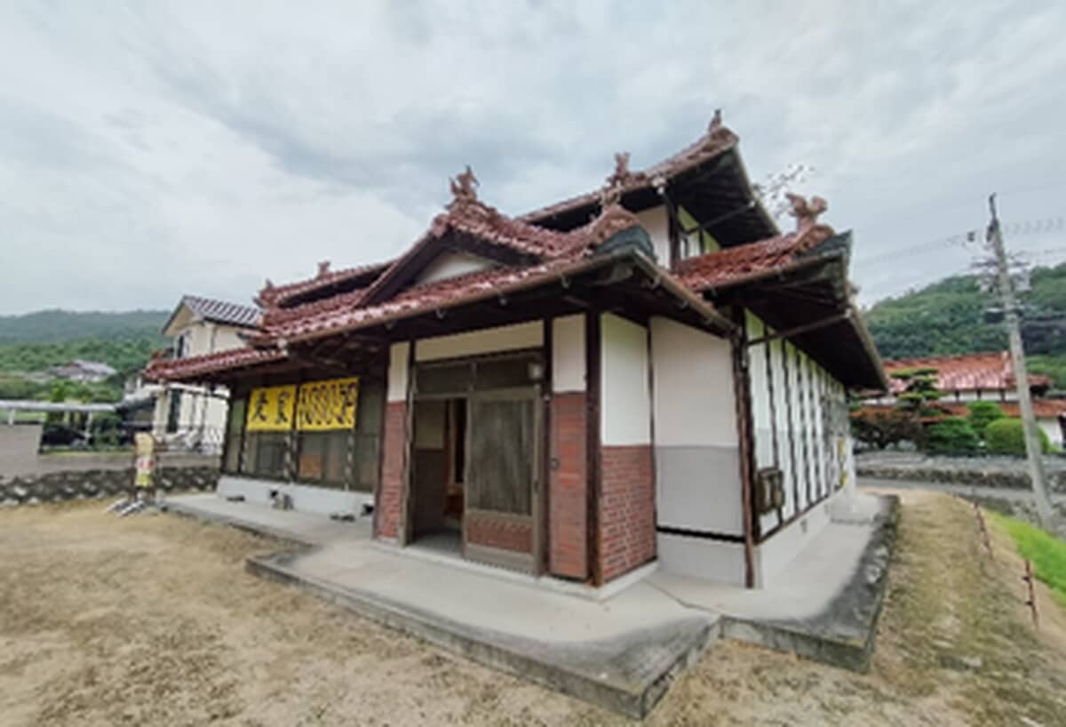
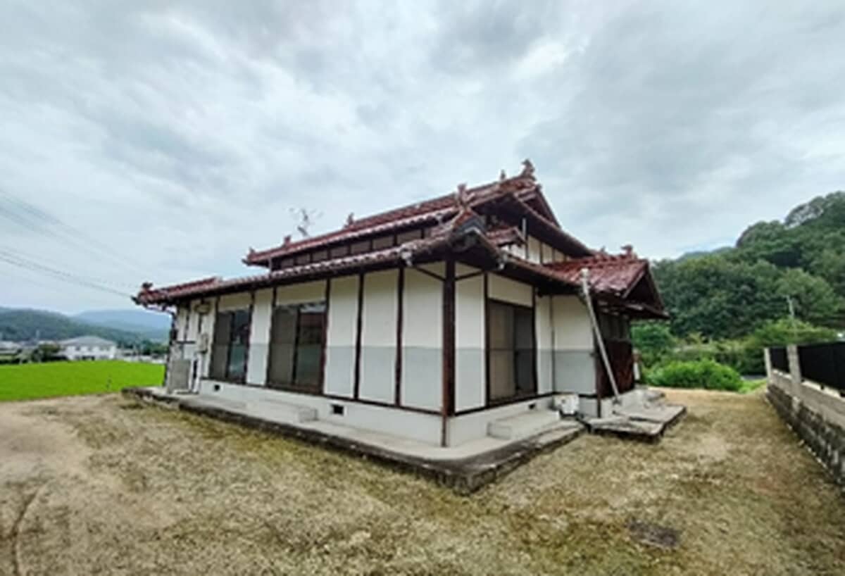
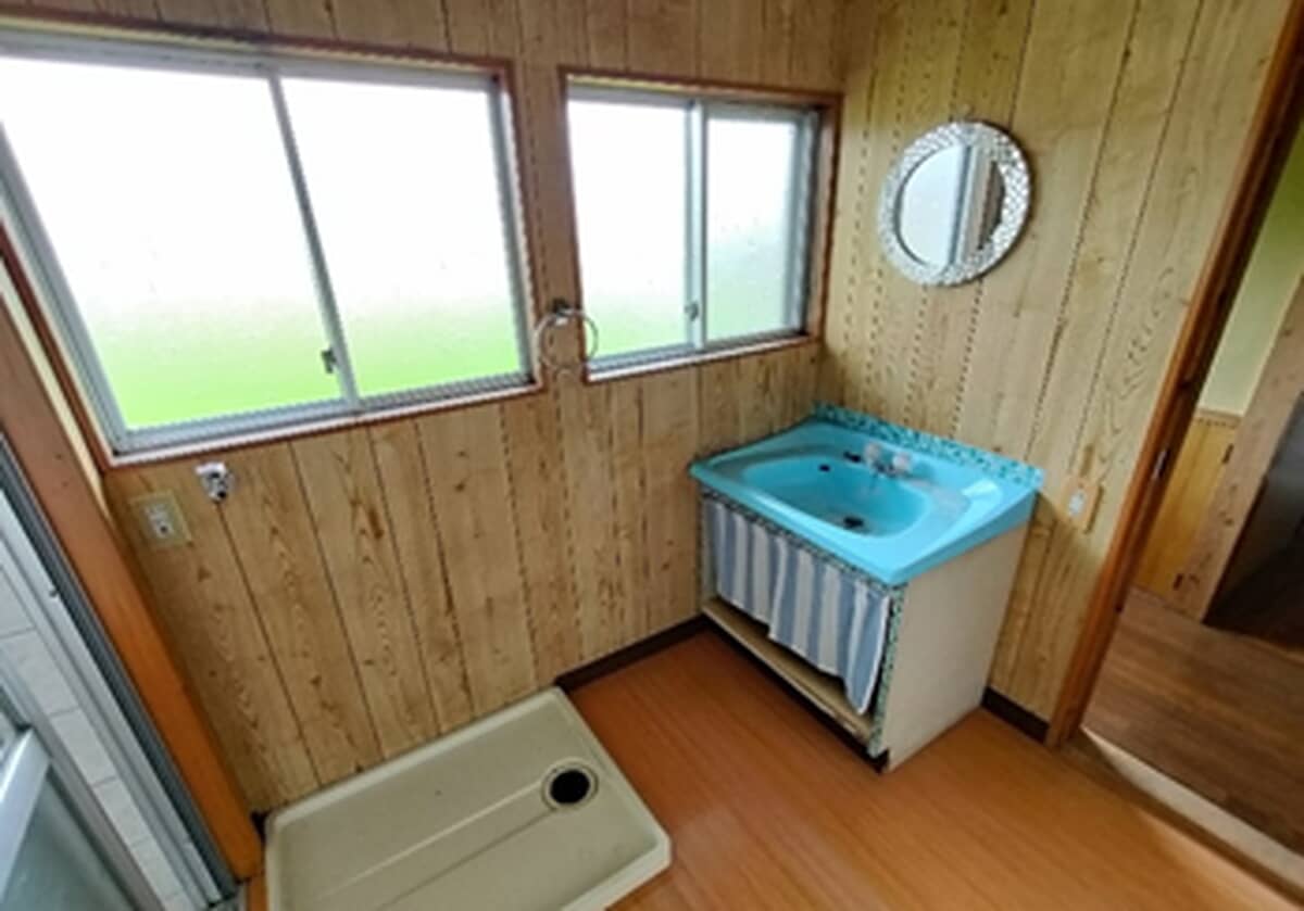
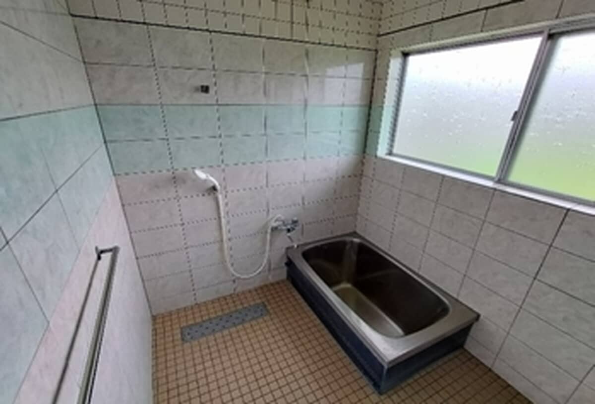
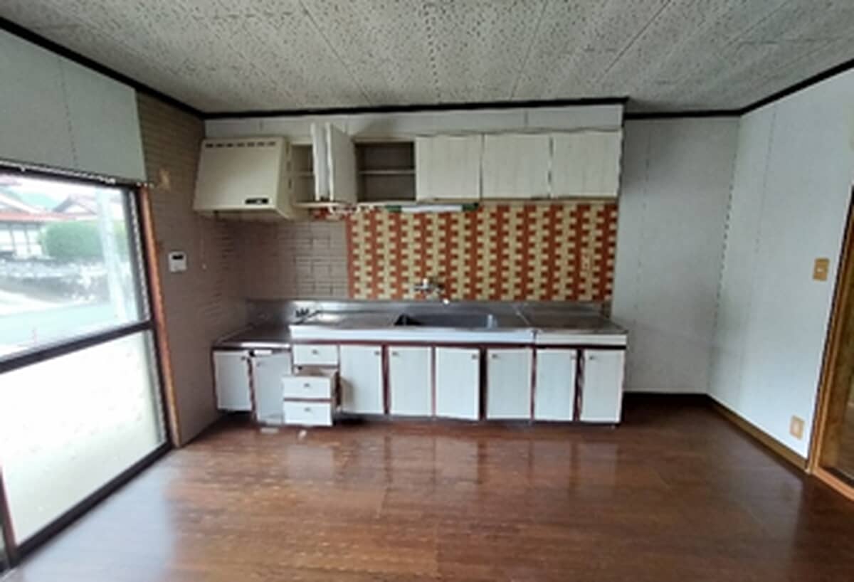
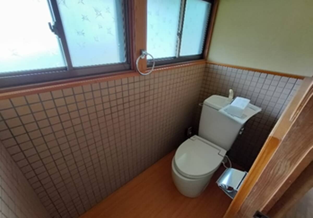
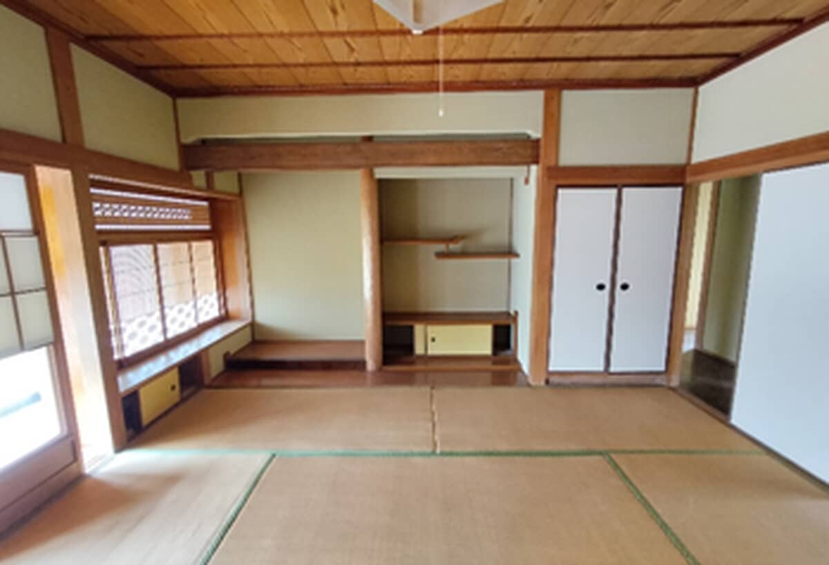
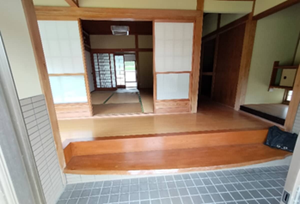
Location
This marks an approximate area, not the exact building. The circle is a rough radius from the listing's published address, so you can see the neighbourhood without us guessing at a precise spot.
Full description
Excellent transportation access: within 1 km of the Sanyo Expressway (Hongō IC), and within 6 km of Hiroshima Airport!
Specifications
Where a detail is not shown, the source listing did not state it. We leave it out rather than guess.
Area and hazard data
- About 217.3 km from the coast
- About 205.7 km to the nearest primary school
A pre-1981 build predates Japan's current earthquake code, which can matter for insurance and renovation. We flag the era from the year built where we have it.
Work with us
Every message gets a reply from one of the founders. We can talk through the home, help you think about a renovation, and connect you with our Japan partner for buying help. Clear flat-fee pricing, nothing to pay until you decide to go ahead.
Where this data comes from
- Earthquake-hazard forecast, from the national J-SHIS model (2024).
- Stations, coastline and schools, from Japan's Ministry of Land mapping data.
Checked against the town's listing: 2026-07-26
Source listing last changed: 2026-07-23
We re-check listings against their sources through the week.
Original listing: https://minto-hiroshima.jp/akiya/details/?id=cmgrklmv405681oqbabr3zxlp&cityIds[]=cm5z0d6qw000m370z6y7aloit
Where a fact is missing, we say so rather than guess. Data from the source listing plus official government records.