1970s wood house in Satsumasendai
1970s wood house in Satsumasendai
Satsumasendai, Kagoshima
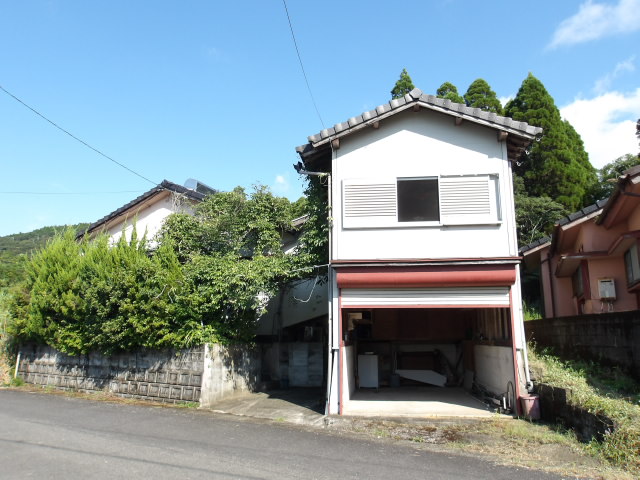
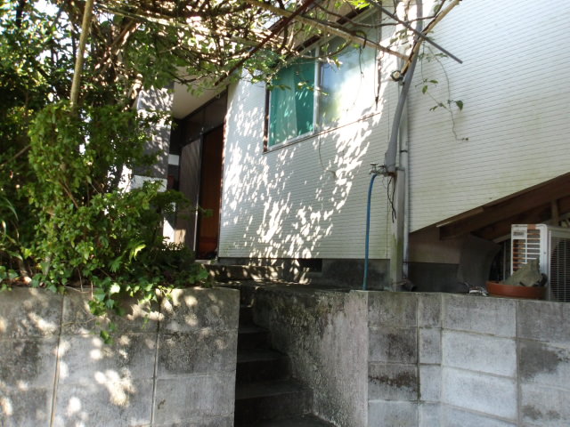
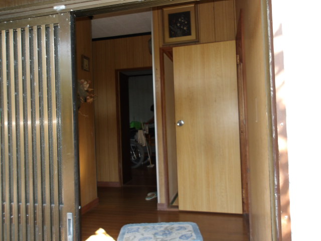
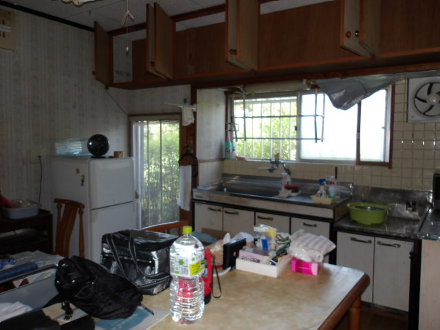
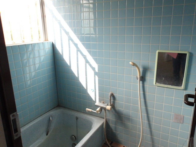
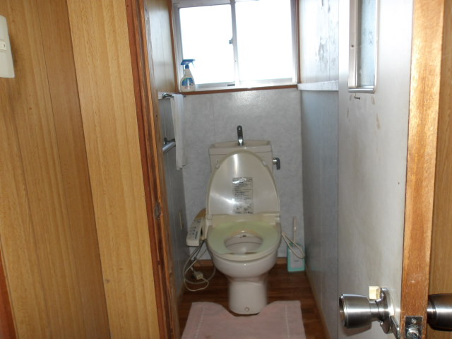
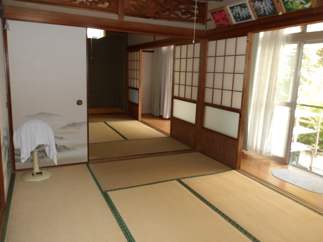
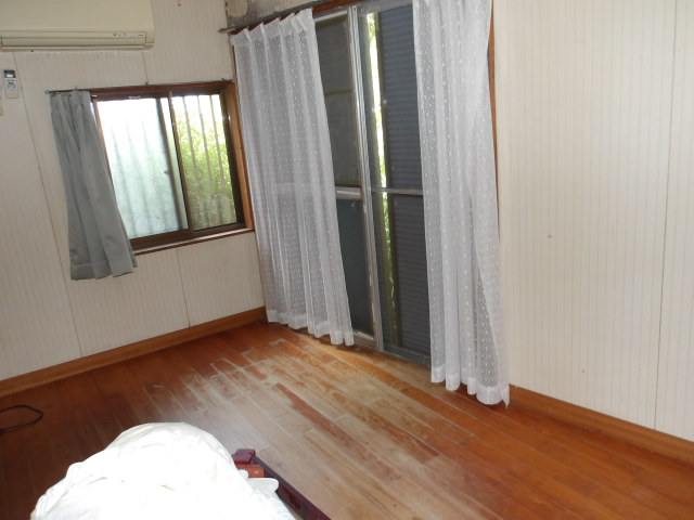
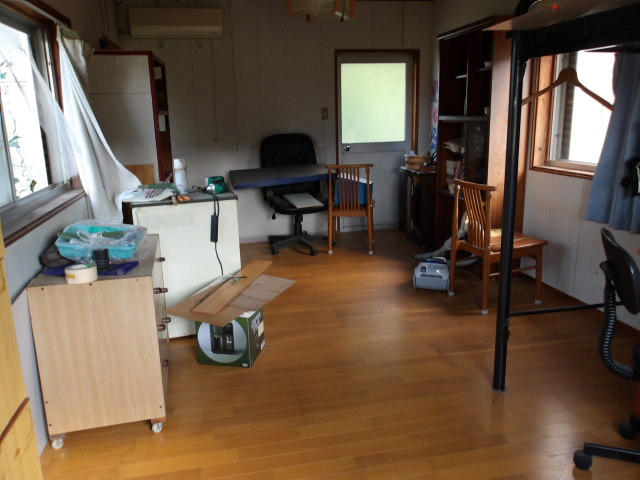
Price
2,000,000 yen
Building size
115.14 sqm
Year built
1979
Structure
Wood
Area and hazard data
Landslide risk
No designated landslide zone at this location
Source: Government hazard map
Flood risk
No designated river-flood zone at this location
Source: Government hazard map
Tsunami risk
No designated tsunami inundation zone at this location
Source: Government hazard map
Strong-earthquake chance
About 14% chance of a strong quake (shindo 6-lower or above) in 30 years
Source: National earthquake-hazard model
Farmland rules
Inside an outer farmland zone. Some land-use restrictions may apply.
Source: Government land-use records
Earthquake code
Built before the 1981 earthquake code (older seismic standard)
Source: Estimated from year built
Local land price
Local land about 16,000 yen per sqm, prices falling (-1.7% over 5 years)
Source: Government land-price survey
- About 40 min walk to Kami-Sendai station
- About 9.4 km from the coast
- About 1.5 km to the nearest primary school
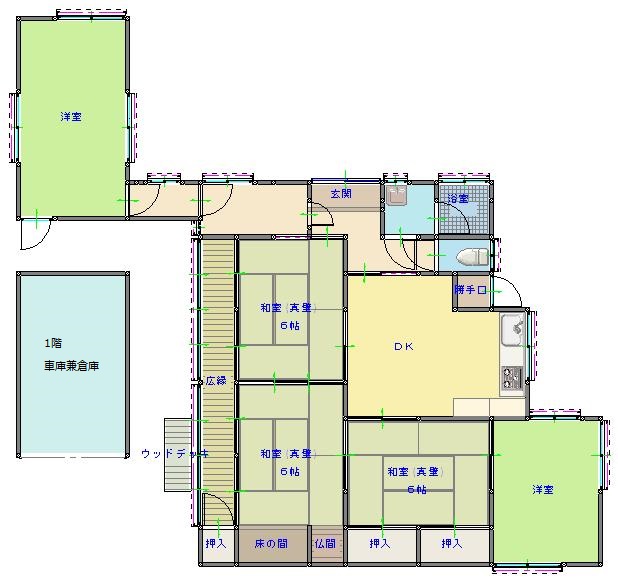
Floor plans
Matched subsidies
-
Migration Support Payment ProgramUp to 1,000,000 yenSource
-
Regional Revitalization Migration Support Program (Household)Up to 1,000,000 yenSource
-
Regional Revitalization Migration Support Program (Single)Up to 600,000 yenSource
-
Regional Relocation & Settlement Promotion SubsidyUp to 500,000 yenSource
-
FY2026 Dangerous Vacant Building Demolition Promotion SubsidyUp to 350,000 yenSource
Amounts change every year. Always confirm with the town before you rely on a figure.
Source listing last changed: 2026-05-28
We re-check listings against their sources through the week.
Original listing: https://www.city.satsumasendai.lg.jp/cgi-bin/recruit.php/3/detail/98?ck=1
Where a fact is missing, we say so rather than guess. Data from the source listing plus official government records.