

Show all 9 photos on the page Show fewer photos

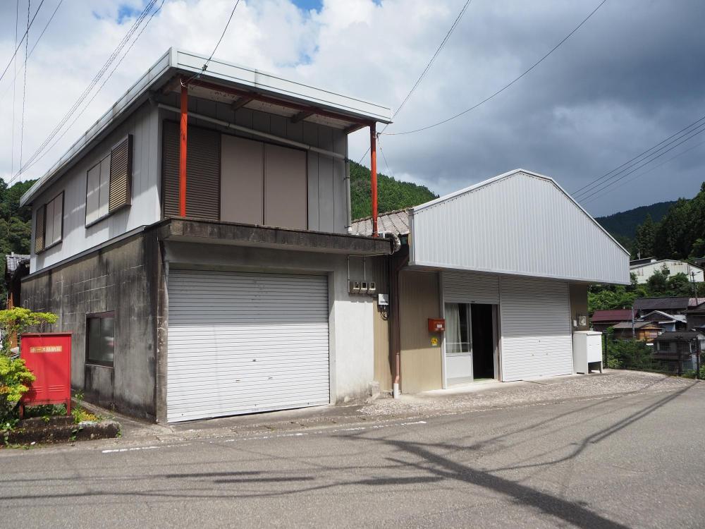
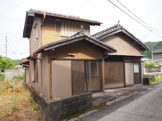
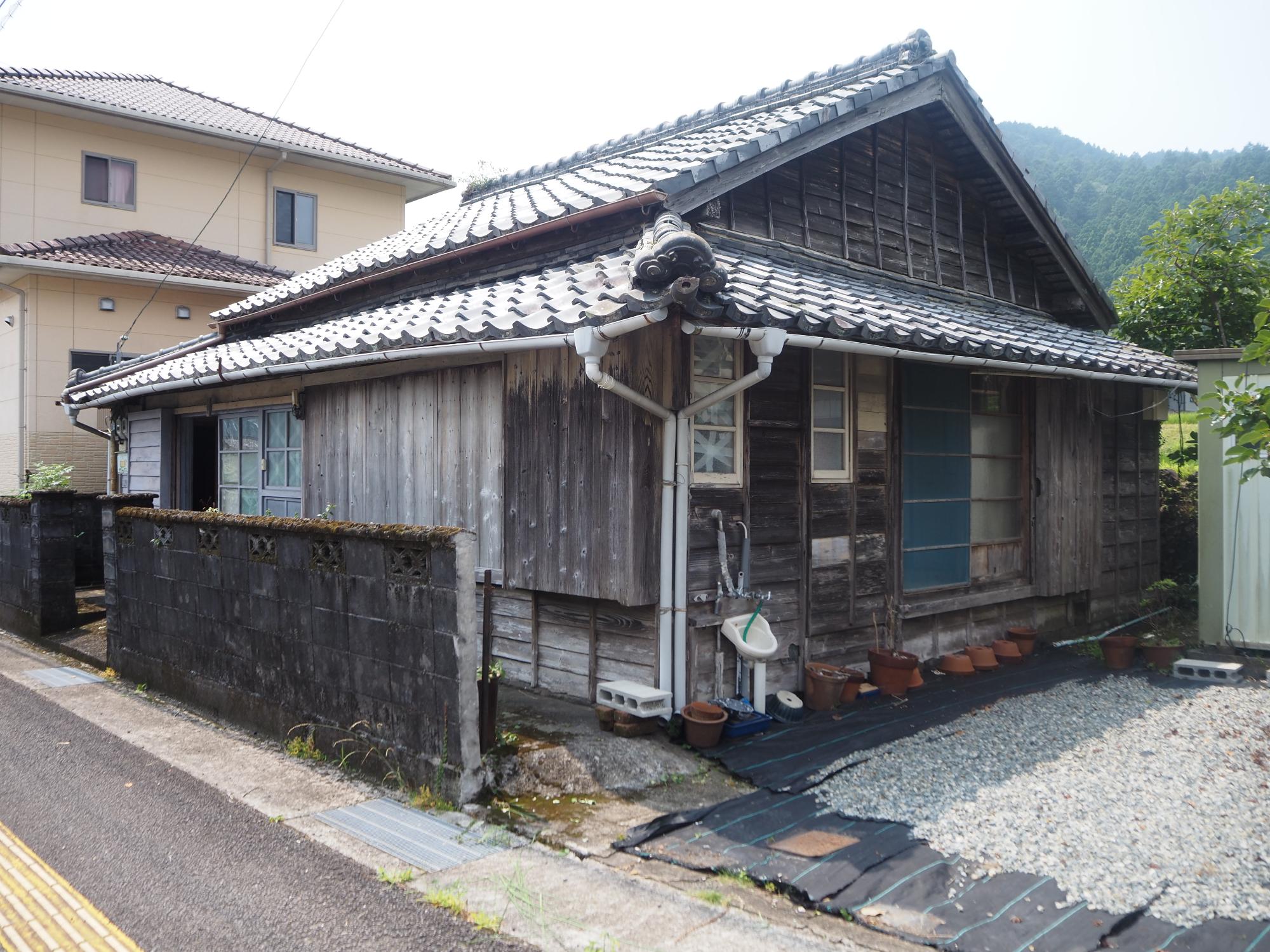
1960s wood house in Tokushima
Naka, Tokushima
- Year built
- 1968
- Building size
- 143.45 sqm
- Land size
- 308 sqm
- Structure
- Wood

Saved homes live in this browser. View your saved homes
From the listing
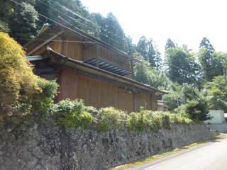
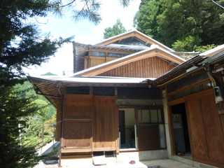
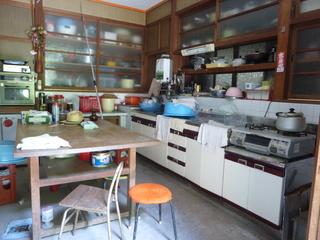
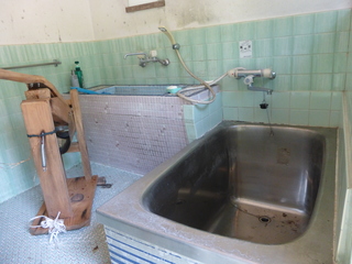
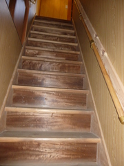
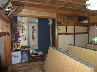
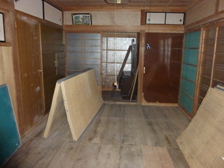
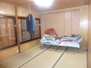
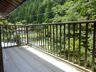
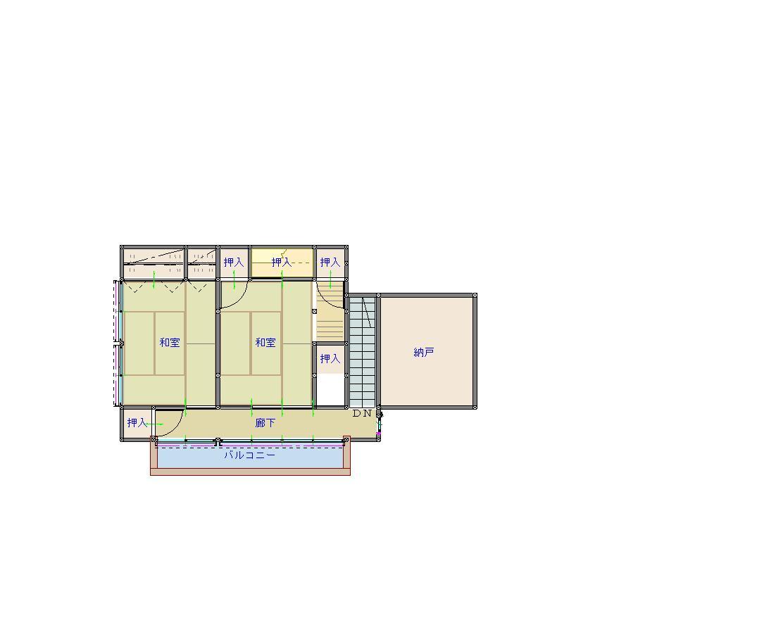
A property with a field in the Kamikamikawa district. Located in a quiet place about 30 minutes by car from the national highway, further into the mountainous area. The first floor has Japanese-style rooms divided by sliding doors and fusuma, as well as water facilities. Outside, there is space for parking 2-3 cars. The second floor consists of two adjoining Japanese-style rooms with ample storage, a nice feature. From the balcony you can see mountains, fields, and stream valleys, offering a peaceful countryside feeling. Why not experience a leisurely rural lifestyle while growing seasonal vegetables? / Repair required: yes / Repair cost: borne by user / Bathroom note: electric water heater present but may not be usable / Gas note: currently disconnected; repair required.
Specifications
- Land size
- 308 sqm
- Building size
- 143.45 sqm
- Year built
- 1968
- Structure
- Wood
- Floors
- 2
- Rooms
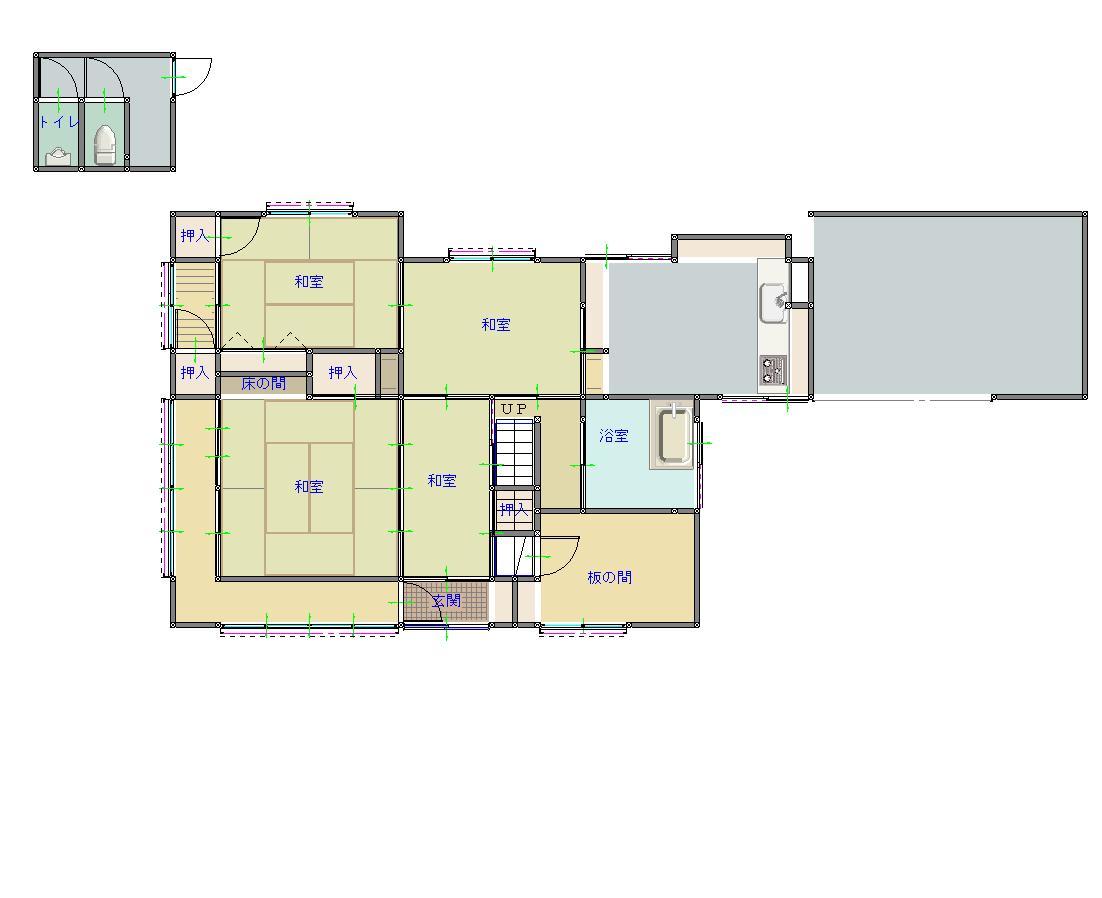
- 1階 台所 風呂 和室(4部屋) 洋室 2階 和室(2部屋) 別棟 トイレ
- Gas
- Propane (LPG)
- Sewer
- Septic (single)
Where a detail is not shown, the source listing did not state it. We leave it out rather than guess.
Floor plans
The price in context
The nearest official land-price benchmark is about 5,850 yen per sqm, down about 10% over five years (6,530 to 5,850), which the survey classes as declining.
Source: Japan's Ministry of Land land-price survey. A benchmark for the area, not a valuation of this home.
Area and hazard data
4 checks clear, 2 to know about. Each check is against a government map for this exact point. Where a map is missing or we can't use it, we say so; that never means there's no risk.
- Earthquake code Caution
- Built before the 1981 earthquake code. Expect a structural survey, harder mortgages, and a retrofit budget; towns often grant part of that cost.
- Strong-earthquake chance Warning
- About 40% chance of a strong quake (shindo 6-lower or above) in 30 years, high for Japan, where most places sit between 3% and 26%
- Landslide risk Checked, clear
- Checked: no designated landslide zone at this location. Zone edges are approximate, and this is not a legal property disclosure document.
- Flood risk Checked, clear
- Checked: outside a mapped flood area. The maps cover designated rivers only, so this is not a promise of no flooding.
- Tsunami risk Checked, clear
- Checked: no designated tsunami inundation zone at this location
- Liquefaction Checked, clear
- Low liquefaction susceptibility for the ground here
Source: Estimated from year built
Source: National earthquake-hazard model
Source: Government hazard map
Source: Government hazard map
Source: Government hazard map
Source: National landform survey
A pre-1981 build predates Japan's current earthquake code, which can matter for insurance and renovation. We flag the era from the year built where we have it.
- Setting
- About 34.8 km to the nearest built-up town area (population about 6,000)
- Hospital
- About 84 min walk
Location
- Area
- Naka, Tokushima
- Setting
- About 34.8 km to the nearest built-up town area (population about 6,000)
- Hospital
- About 84 min walk
This marks an approximate area, not the exact building. The circle is a rough radius from the listing's published address, so you can see the neighbourhood without us guessing at a precise spot. The published address only names the neighbourhood.
Rules of this akiya bank
These are the bank's published eligibility rules, not confirmation that your intended use of this home is allowed. Check with the municipality and owner.
We have not established these rules for this listing. Unknown does not mean permitted.
Grants and rules
2 programmes in our data could apply to this home, all with conditions you would have to meet first. Amounts change every year. Always confirm with the town before you rely on a figure.
-
Regional Revitalization Migration Support Program (Household) ConditionalUp to 1,000,000 yen
What you would need
Base amount for household migration: up to 1 million yen. Additional 1 million yen per child under 18 may be added (stackable add-on, not included in base cap).
- Resident of Tokyo 23 wards or commuting to Tokyo 23 wards from Tokyo Metropolitan Area (excluding disadvantaged regions)
- Plus 3 more conditions on the town's page.
-
Regional Revitalization Migration Support Program (Single) ConditionalUp to 600,000 yen
What you would need
Base amount for single migration: up to 600,000 yen.
- Resident of Tokyo 23 wards or commuting to Tokyo 23 wards from Tokyo Metropolitan Area (excluding disadvantaged regions)
- Plus 3 more conditions on the town's page.
Official source for Regional Revitalization Migration Support Program (Single) (opens in a new tab)
- Municipal conditions and restrictions
-
- Purchase of agricultural land is required. When purchasing agricultural land, a sworn statement of "commitment to cultivate continuously for 3 years or more" and an "agricultural land utilization plan" must be submitted to the Naka Town Agricultural Committee and approval must be obtained.
Interested in this house?
Every message gets a reply from one of the founders. We can talk through the home, help you think about a renovation, and connect you with a licensed agent in Japan for buying help. Clear flat fee pricing, nothing to pay until you decide to go ahead.
- 1Tell us where you are and what you would use it for.
- 2We check the home and the town's rules with you, free.
- 3If you go ahead, a licensed agent in Japan handles the purchase for a flat fee.

16 other homes currently listed in Naka.
Before you buy
Where this data comes from
Every fact on this page comes from the town's own listing or an official government record, checked for this address. Where a fact is missing, we say so rather than guess.
- Landslide-risk areas, from Japan's Ministry of Land mapping data (KSJ A33).
- Flood-risk areas, from Japan's Ministry of Land mapping data (KSJ A31a).
- Tsunami-risk areas, from Japan's Ministry of Land mapping data (KSJ A40).
- Earthquake-hazard forecast, from the national J-SHIS model (2024).
- Stations, coastline and schools, from Japan's Ministry of Land mapping data.
- Official land prices, from Japan's Ministry of Land land-price survey.
Map data: National Land Numerical Information (Kokudo Suchi Joho), Ministry of Land, Infrastructure, Transport and Tourism, processed by Engawa.
出典:「国土数値情報」(国土交通省)(https://nlftp.mlit.go.jp/ksj/)をEngawaが加工して作成
- Checked against the town's listing
- Checked against the town's listing: 2026-10-06
- Source listing last changed
- Source listing last changed: 2026-08-11
- Original listing
- www.town.tokushima-naka.lg.jp (opens in a new tab)
We re-check listings against their sources through the week. Where a fact is missing, we say so rather than guess. Data from the source listing plus official government records.