

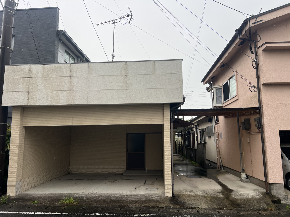

1970s wood house in Okuchimotomachi, Isa
Isa, Kagoshima
- Year built
- 1975
- Building size
- 58.99 sqm
- Land size
- 204.9 sqm
- Structure
- Wood

Saved homes live in this browser. View your saved homes
From the listing
"Gap Moe Between Kind Me and Next Door" / The hydrangeas that were blooming abundantly have been settling down gradually, and the cicadas are revving up to charge into July as if they've been waiting. Since moving to Isa, I've become quite accustomed to insects, but the dynamic movements of the cicadas always make me feel like I'm losing my nerve, this is Tanaka. / The property we're introducing this time is an adjacent rental property that we also introduced before in "No.261 [Oguchi School District / 7LDK / Built Showa 50 / 10,000,000 yen] 'That Day When I Was Enchanted by the Gap Between Appearance and Reality.' " / Basically, the owner hopes to sell it together with No.261, but for individual consultations, please contact the real estate company. / On the left, near side is this property, and the far side is No.261. / In the neighborhood are post offices, flower shops, produce shops, and cafes, it's the convenient "Motomachi" area for daily living. At the neighboring small restaurant Hiro across the street visible in photos, you can enjoy delicious shochu paired with carefully prepared exquisite dishes! As I was introducing it, I got hungry... / The parking space can fit 2 cars. / With the parking lot on the left, the access to the entrance has a roof. The efficient use of space that comes from being set as a pair with the neighboring property really shines. / Entering from the straightforward entrance with no step in front! / Barrier-free design with a ramp and handrails. / Personally, I'm also drawn to the clean, uncomplicated design that looks easy to clean. / Looking at this entrance from a different angle... / It's designed to have direct access to the garage we mentioned earlier. / You can get to the parking lot without getting wet in the rain, and even on days when you end up buying way too much, you can smoothly access the living space, that's wonderful! / The livability considerations are visible inside as well. / The partitions between rooms are removable, you can divide them finely with sliding doors if you like, or you can remove the partitions altogether and use the space widely. / To the north of the first room from the entrance are the sink, washing machine area, toilet, and bathroom all together. / It's hard to see without lighting, sorry...! / However, even in such a dark image, you can tell the bathroom is clean. / The toilet with cute wood-grain wall material is spotlessly clean. It's hard to see from this angle, but there's also a handrail directly in front of the toilet seat. / I myself get lower back strain frequently, so I know from experience how much a handrail-equipped toilet can help...! It's a helping hand, or rather, a helping handrail! / Next door is the kitchen. Simple, but the built-in wall lighting has a design beauty that reaches those hard-to-reach spots. / Here's how the kitchen looks from the living space. / This is the east side of the property. Bedding and clothes welcome!, it has plenty of storage. / It would also work well to connect it to the neighboring living space. / The last room is a bit smaller than the other three, which would be perfect for a bedroom. / The calm atmosphere somehow suggests it could also work as a study or library. / With a customizable floor plan, this property seems like it would fit any generation. / Since the interior of No.261 is also in very clean condition, both are ready for immediate use, and the opportunity to purchase two adjacent buildings in a popular location doesn't come around that often, does it? / May we build a wonderful connection with someone who will make good use of this property. / We look forward to hearing from you!
Specifications
- Land size
- 204.9 sqm
- Building size
- 58.99 sqm
- Year built
- 1975
- Structure
- Wood
- Floors
- 1
- Rooms
- 1F: 4DK
- Gas
- Propane (LPG)
- Water
- City water
- Sewer
- Septic (combined)
Where a detail is not shown, the source listing did not state it. We leave it out rather than guess.
The price in context
The nearest official land-price benchmark is about 19,800 yen per sqm, down about 21% over five years (25,000 to 19,800), which the survey classes as declining.
The asking price works out at about 48,804 yen per sqm of land, 146% above the nearest residential benchmark of about 19,800 yen per sqm.
Source: Japan's Ministry of Land land-price survey. A benchmark for the area, not a valuation of this home.
Area and hazard data
6 checks clear, 1 to know about. Each check is against a government map for this exact point. Where a map is missing or we can't use it, we say so; that never means there's no risk.
- Earthquake code Caution
- Built before the 1981 earthquake code. Expect a structural survey, harder mortgages, and a retrofit budget; towns often grant part of that cost.
- Strong-earthquake chance Checked, clear
- About 3% chance of a strong quake (shindo 6-lower or above) in 30 years, low for Japan, where most places sit between 3% and 26%
- Landslide risk Checked, clear
- Checked: no designated landslide zone at this location. Zone edges are approximate, and this is not a legal property disclosure document.
- Flood risk Checked, clear
- Checked: outside a mapped flood area. The maps cover designated rivers only, so this is not a promise of no flooding.
- Tsunami risk Checked, clear
- Checked: no designated tsunami inundation zone at this location
- Liquefaction Checked, clear
- Low liquefaction susceptibility for the ground here
- Farmland rules Checked, clear
- Checked: not in a designated farmland zone
Source: Estimated from year built
Source: National earthquake-hazard model
Source: Government hazard map
Source: Government hazard map
Source: Government hazard map
Source: National landform survey
Source: Government land-use records
A pre-1981 build predates Japan's current earthquake code, which can matter for insurance and renovation. We flag the era from the year built where we have it.
- Nearest station
- Masaki station, about 11.5 km away (Hisatsu Line)
- Setting
- About 21.1 km to the nearest built-up town area (population about 12,000)
- Coast
- About 25.3 km from the coast
- Schools
- primary 0.5 km, junior high 0.8 km, high school 0.8 km
- Clinic
- About 3 min walk
Location
- Area
- Isa, Kagoshima
- Nearest station
- Masaki station, about 11.5 km away (Hisatsu Line)
- Setting
- About 21.1 km to the nearest built-up town area (population about 12,000)
- Coast
- About 25.3 km from the coast
- Schools
- primary 0.5 km, junior high 0.8 km, high school 0.8 km
This marks an approximate area, not the exact building. The circle is a rough radius from the listing's published address, so you can see the neighbourhood without us guessing at a precise spot. The published address only names the neighbourhood.
Rules of this akiya bank
These are the bank's published eligibility rules, not confirmation that your intended use of this home is allowed. Check with the municipality and owner.
We have not established these rules for this listing. Unknown does not mean permitted.
Grants and rules
9 programmes in our data could apply to this home, 8 with conditions you would have to meet first. Amounts change every year. Always confirm with the town before you rely on a figure.
-
Isa City Wooden Housing Seismic Diagnosis & Retrofit Subsidy ConditionalUp to 1,150,000 yen
What you would need
Seismic diagnosis: 2/3 subsidy rate, max 60,000 yen. Retrofit work: 8/10 subsidy rate, max 1,150,000 yen (changed July 2025).
- Must be resident or owner of the wooden house. If owner and resident differ, both must consent. Must not be in default on municipal taxes.
- Plus 1 more condition on the town's page.
-
Migration Support Payment Program ConditionalUp to 1,000,000 yen
What you would need
Base payment for 2+ household members; additional payments available
- Must have resided cumulatively 5+ years in Tokyo 23 wards within the 10 years before transfer, or resided in Tokyo metropolitan area (excluding designated disadvantaged areas) and commuted to Tokyo 23 wards
- Plus 2 more conditions on the town's page.
Official source for Migration Support Payment Program (opens in a new tab)
-
Regional Revitalization Migration Support Program (Household) ConditionalUp to 1,000,000 yen
What you would need
Base amount for household migration: up to 1 million yen. Additional 1 million yen per child under 18 may be added (stackable add-on, not included in base cap).
- Resident of Tokyo 23 wards or commuting to Tokyo 23 wards from Tokyo Metropolitan Area (excluding disadvantaged regions)
- Plus 3 more conditions on the town's page.
-
Tokyo-Area Migration Support Subsidy ConditionalUp to 1,000,000 yen
What you would need
Multi-person household: 1,000,000 yen. Single person: 600,000 yen. Additional 1,000,000 yen per minor (under 18) brought along after 1 April 2023.
- In 10 years before moving to Isa, spent cumulative 5+ years in Tokyo 23 wards or non-disadvantaged Tokyo metro areas, AND commuted to Tokyo 23 wards
- Plus 2 more conditions on the town's page.
Official source for Tokyo-Area Migration Support Subsidy (opens in a new tab)
-
Regional Revitalization Migration Support Program (Single) ConditionalUp to 600,000 yen
What you would need
Base amount for single migration: up to 600,000 yen.
- Resident of Tokyo 23 wards or commuting to Tokyo 23 wards from Tokyo Metropolitan Area (excluding disadvantaged regions)
- Plus 3 more conditions on the town's page.
Official source for Regional Revitalization Migration Support Program (Single) (opens in a new tab)
-
Combined Wastewater Treatment Tank (Septic) Subsidy ConditionalUp to 548,000 yen
What you would need
Base: 332,000 yen (5-person), 414,000 yen (7-person), 548,000 yen (10-person tank). Add 50,000 yen if local contractor used. Additional up to 90,000 yen for removal or up to 150,000 yen for in-house plumbing when converting from septic or pit toilet.
- Must install combined treatment tank or convert from single-treatment septic or pit toilet
Official source for Combined Wastewater Treatment Tank (Septic) Subsidy (opens in a new tab)
-
Dangerous Vacant Building Demolition Subsidy ConditionalUp to 200,000 yen
What you would need
20% of eligible demolition costs, capped at 200,000 yen; amounts below 1,000 yen discarded.
- Must not be in default on city taxes. Must be owner of the dangerous building or delegated by owner to execute demolition.
- Plus 1 more condition on the town's page.
Official source for Dangerous Vacant Building Demolition Subsidy (opens in a new tab)
-
Migration & Home Exchange Promotion Subsidy Program ConditionalBase rate 1/5 of eligible costs capped at 500,000 yen for renovation; additional add-ons for migrants, age, families with children, and small settlements when base costs exceed 2.5 million yen.
What you would need
- Migrant: resided continuously outside the municipality for 10+ years AND transferred to Isa within 3 years before application or by end of the application fiscal year
- Plus 3 more conditions on the town's page.
Official source for Migration & Home Exchange Promotion Subsidy Program (opens in a new tab)
-
Hazard-Proximity Dangerous House Relocation Subsidy Unlikely for most buyersDemolition/relocation: max 975,000 yen. Construction/purchase/renovation: interest subsidy on loans (max 8.5% annual rate). Land acquisition: max 2,060,000 yen. Site development: max 608,000 yen.
What you would need
- Must demolish and relocate, or construct/purchase/renovate replacement housing
Official source for Hazard-Proximity Dangerous House Relocation Subsidy (opens in a new tab)
Interested in this house?
This prefecture has a licensed, English speaking agent on the ground. Send the form below and it reaches them and us together. Free to ask, and nothing to pay until you decide to go ahead.
- 1Tell us where you are and what you would use it for.
- 2We check the home and the town's rules with you, free.
- 3If you go ahead, Szuwen (Steven) Huang handles the purchase in Japan for a flat fee.
Szuwen (Steven) Huang
KORYOYA LLC

12 other homes currently listed in Isa.
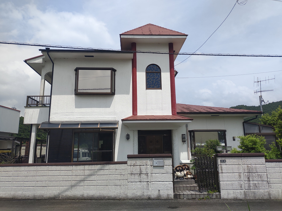
Isa, Kagoshima
1970s wood house in Okuchiushio, Isa
3,000,000 yen
(approx. GBP 14,000)
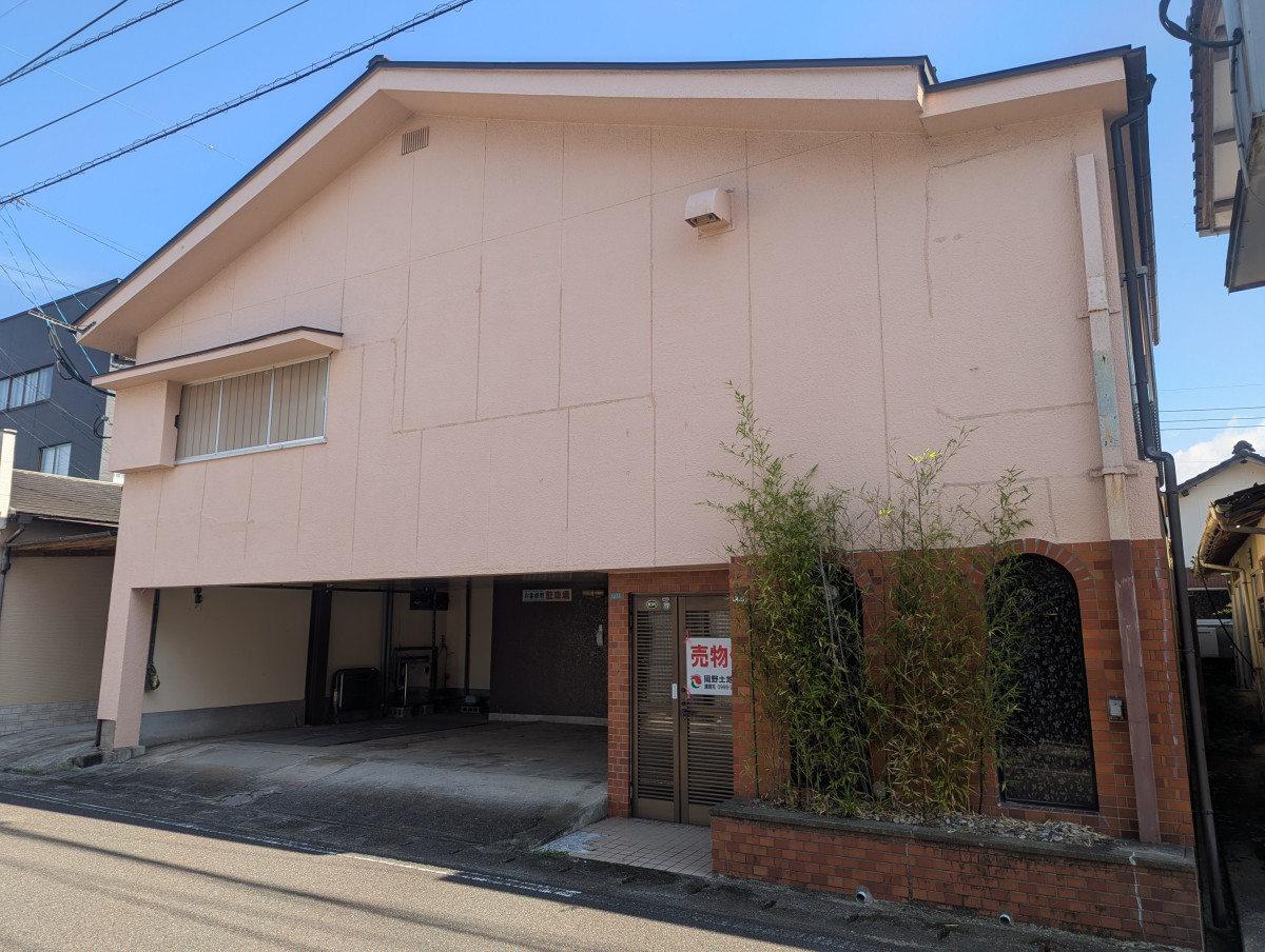
Isa, Kagoshima
1970s wood house in Okuchimotomachi, Isa
10,000,000 yen
(approx. GBP 47,000)
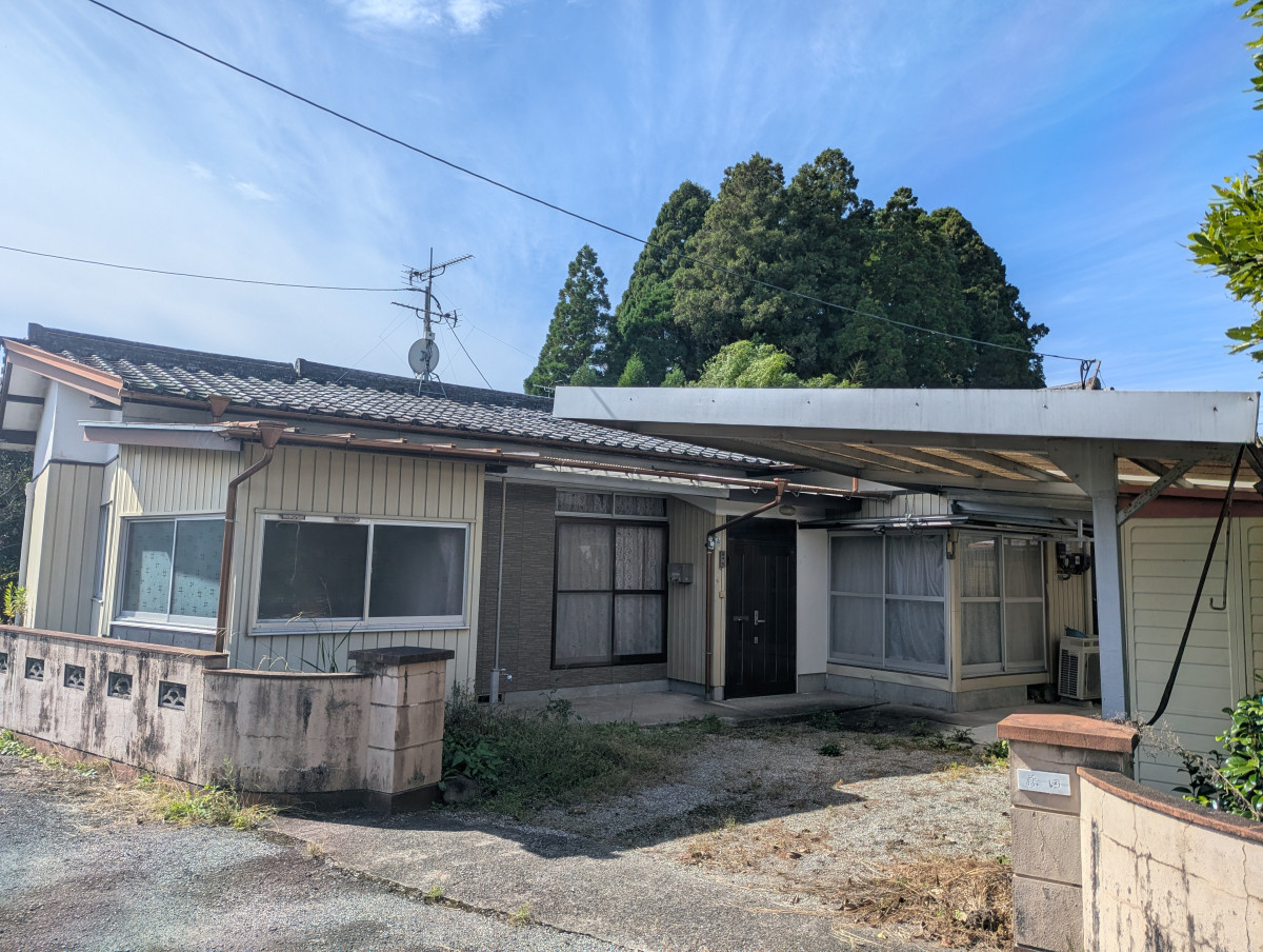
Isa, Kagoshima
1970s wood house in Okuchi, Isa, farmland, approval needed
1,900,000 yen
(approx. GBP 9,000)
Before you buy
Where this data comes from
Every fact on this page comes from the town's own listing or an official government record, checked for this address. Where a fact is missing, we say so rather than guess.
- Landslide-risk areas, from Japan's Ministry of Land mapping data (KSJ A33).
- Flood-risk areas, from Japan's Ministry of Land mapping data (KSJ A31a).
- Tsunami-risk areas, from Japan's Ministry of Land mapping data (KSJ A40).
- Earthquake-hazard forecast, from the national J-SHIS model (2024).
- Farmland rules, from Japan's Ministry of Land mapping data (KSJ A12).
- Stations, coastline and schools, from Japan's Ministry of Land mapping data.
- Official land prices, from Japan's Ministry of Land land-price survey.
Map data: National Land Numerical Information (Kokudo Suchi Joho), Ministry of Land, Infrastructure, Transport and Tourism, processed by Engawa.
出典:「国土数値情報」(国土交通省)(https://nlftp.mlit.go.jp/ksj/)をEngawaが加工して作成
- Checked against the town's listing
- Checked against the town's listing: 2026-09-27
- Source listing last changed
- Source listing last changed: 2026-07-22
- Original listing
- www.city.isa.kagoshima.jp (opens in a new tab)
We re-check listings against their sources through the week. Where a fact is missing, we say so rather than guess. Data from the source listing plus official government records.